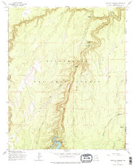
1965 Map of Chevelon Crossing
USGS Topo · Published 1979About this map
West Chevelon Canyon and the deeper Chevelon Canyon dominate this part of the Sitgreaves National Forest in the mid-1960s. The landscape is defined by the convergence of steep-walled drainages including Alder Canyon, Wildcat Canyon, and several seasonal draws. In the south, the Chevelon Canyon Dam holds back the waters of Chevelon Canyon Lake, a notable local landmark near Bar Circle Draw.
Find a feature on this map
26 named features on this map. Tap any name to fly to it.
Don’t see what you’re looking for? This feature index may not catch every label — zoom into the map to look around manually.
Map Details
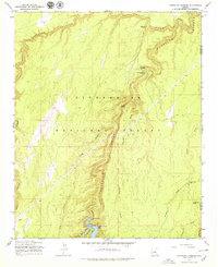
Editions of this 1965 Chevelon Crossing Map
3 editions found
Other maps of this area

1886 · Holbrook
USGS Topo · 1:250,000

1893 · Holbrook
USGS Topo · 1:250,000

1954 · Holbrook
USGS Topo · 1:250,000

1957 · Holbrook
USGS Topo · 1:250,000

1958 · Holbrook
USGS Topo · 1:250,000

1960 · Holbrook
USGS Topo · 1:250,000

1961 · Woods Canyon
USGS Topo · 1:62,500

1961 · Heber
USGS Topo · 1:62,500
1965 · Grama Draw
USGS Topo · 1:24,000

1965 · Chevelon Crossing
USGS Topo · 1:24,000