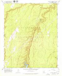
1965 Map of Chevelon Crossing
USGS Topo · Published 1979About this map
Chevelon Canyon defines the drainage pattern of this high-elevation landscape within the Sitgreaves National Forest during the mid-1960s. The map illustrates a transitional period of infrastructure development, specifically the creation of the Chevelon Canyon Lake reservoir behind the Chevelon Canyon Dam at the southern edge of the quadrangle. Transport through this dissected terrain relied heavily on established fords and primitive routes, such as Mormon Crossing, Chevelon Crossing, and Durfee Crossing. While modern camping facilities like the Chevelon Canyon Campground appear, much of the area remains accessible only by Jeep Trail, highlighting the persistence of traditional movement patterns along drainage features like Alder Canyon and Grapevine Draw. The scarcity of permanent settlements is contrasted by the numerous water improvements for livestock or wildlife, such as Wagon Draw Tank and Trick Tank.
Find a feature on this map
20 named features on this map. Tap any name to fly to it.
Don’t see what you’re looking for? This feature index may not catch every label — zoom into the map to look around manually.
Map Details
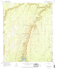
Editions of this 1965 Chevelon Crossing Map
3 editions found
Other maps of this area

1886 · Holbrook
USGS Topo · 1:250,000

1893 · Holbrook
USGS Topo · 1:250,000

1954 · Holbrook
USGS Topo · 1:250,000

1957 · Holbrook
USGS Topo · 1:250,000

1958 · Holbrook
USGS Topo · 1:250,000

1960 · Holbrook
USGS Topo · 1:250,000

1961 · Woods Canyon
USGS Topo · 1:62,500

1961 · Heber
USGS Topo · 1:62,500
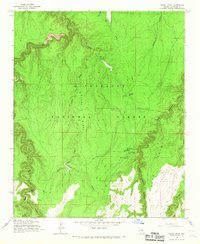
1965 · Grama Draw
USGS Topo · 1:24,000

1965 · Chevelon Crossing
USGS Topo · 1:24,000