
1970 Map of Red Knoll
USGS Topo · Published 1973About this map
Sitgreaves National Forest dominates this high-desert landscape in Navajo County, defined by a complex network of ephemeral drainages and essential water-catchment features. The terrain is centered around the prominent Red Knoll, which stands above the Red Knoll Flat. The map reveals the critical importance of water management for ranching and resource use in this arid environment, evidenced by dozens of named catchments such as Turley Tank, Poyer Tank, and the curiously named Stolen Tank No 2. A rugged Jeep Trail provides the primary access through these wooded uplands.
Find a feature on this map
37 named features on this map. Tap any name to fly to it.
Don’t see what you’re looking for? This feature index may not catch every label — zoom into the map to look around manually.
Map Details
Editions of this 1970 Red Knoll Map
This is the sole edition of this map. No revisions or reprints were ever made.
Other maps of this area

1886 · Holbrook
USGS Topo · 1:250,000

1893 · Holbrook
USGS Topo · 1:250,000

1954 · Holbrook
USGS Topo · 1:250,000

1957 · Holbrook
USGS Topo · 1:250,000

1958 · Holbrook
USGS Topo · 1:250,000

1960 · Holbrook
USGS Topo · 1:250,000

1961 · Clay Springs
USGS Topo · 1:62,500

1961 · Heber
USGS Topo · 1:62,500
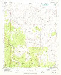
1971 · Zeniff
USGS Topo · 1:24,000
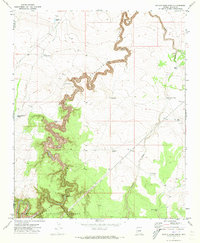
1971 · Potato Wash North
USGS Topo · 1:24,000