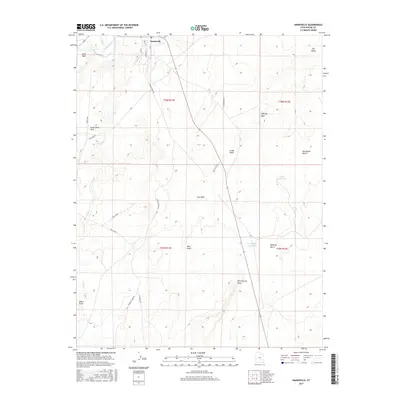
2017 Map of Hanksville
USGS Topo · Published 2017About this map
Hanksville stands at the northern edge of this Utah landscape, situated near the confluence of the Fremont River and Bull Cr. The settlement is defined by its grid of local streets like Center St and Locust Ln, serving as a gateway to the arid terrain that stretches southward. The geography is characterized by a series of washes and drainage patterns, including Cow Wash, Collie Wash, and Sand Wash, which carve through the high desert floor.
Find a feature on this map
31 named features on this map. Tap any name to fly to it.
Don’t see what you’re looking for? This feature index may not catch every label — zoom into the map to look around manually.
Map Details
Editions of this 2017 Hanksville Map
This is the sole edition of this map. No revisions or reprints were ever made.
Other maps of this area

1885 · San Rafael
USGS Topo · 1:250,000

1952 · Mt. Ellen 4 NW
USGS Topo · 1:24,000

1952 · Bull Mountain
USGS Topo · 1:62,500

1954 · Mt. Ellen 2 SE
USGS Topo · 1:24,000

1954 · Mt. Ellen 1 NW
USGS Topo · 1:24,000

1954 · Mt. Ellen 2 NE
USGS Topo · 1:24,000

1954 · Mt. Ellen 1 SW
USGS Topo · 1:24,000

1954 · Factory Butte
USGS Topo · 1:62,500

1956 · Salina
USGS Topo · 1:250,000

1960 · Salina
USGS Topo · 1:250,000