
1954 Map of Factory Butte
USGS Topo · Published 1959About this map
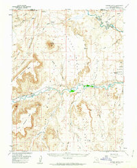
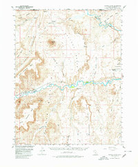
Factory Butte dominates this mid-century landscape of south-central Utah, rising as a prominent landmark above the surrounding Factory Bench and Caineville Reef. The survey captures a moment when the Fremont River supported small pockets of human presence in the Blue Valley, notably the settlement at Giles. This area, deeply carved by seasonal drainages like Muddy Creek and Salt Wash, shows a transition from high mesa tops like North Caineville Mesa to the intricate erosion of the Lower Blue Hills.
Find a feature on this map
44 named features on this map. Tap any name to fly to it.
Don’t see what you’re looking for? This feature index may not catch every label — zoom into the map to look around manually.
Map Details
Editions of this 1954 Factory Butte Map
3 editions found
Other maps of this area

1885 · San Rafael
USGS Topo · 1:250,000

1885 · Fish Lake
USGS Topo · 1:250,000

1896 · Fish Lake
USGS Topo · 1:250,000

1952 · Notom 4 NE
USGS Topo · 1:24,000

1952 · Mt. Ellen 4 NW
USGS Topo · 1:24,000

1952 · Bull Mountain
USGS Topo · 1:62,500

1952 · Wild Horse
USGS Topo · 1:62,500

1952 · Notom
USGS Topo · 1:62,500

1953 · Emery 4 SE
USGS Topo · 1:24,000

1953 · Temple Mtn
USGS Topo · 1:62,500