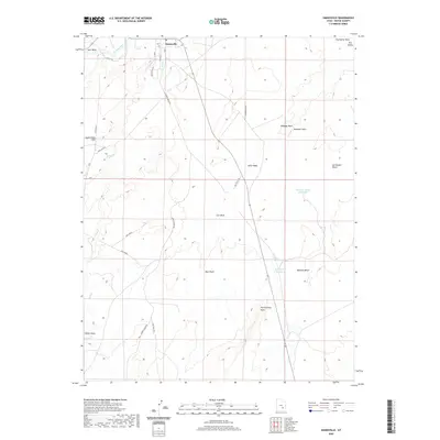
2020 Map of Hanksville
USGS Topo · Published 2020About this map
Hanksville serves as the primary hub in this desert landscape where the Fremont River and Bull Cr converge. The settlement is defined by a grid including Center St and Hanksville Pk, providing a stark contrast to the surrounding arid terrain of the San Rafael Desert. The topography is marked by numerous washes and canyons, such as Collie Wash, Cow Wash, and Bull Wash, which channel seasonal water across the high plains.
Find a feature on this map
30 named features on this map. Tap any name to fly to it.
Don’t see what you’re looking for? This feature index may not catch every label — zoom into the map to look around manually.
Map Details
Editions of this 2020 Hanksville Map
This is the sole edition of this map. No revisions or reprints were ever made.
Other maps of this area

1885 · San Rafael
USGS Topo · 1:250,000

1952 · Mt. Ellen 4 NW
USGS Topo · 1:24,000

1952 · Bull Mountain
USGS Topo · 1:62,500

1954 · Mt. Ellen 2 SE
USGS Topo · 1:24,000

1954 · Mt. Ellen 1 NW
USGS Topo · 1:24,000

1954 · Mt. Ellen 2 NE
USGS Topo · 1:24,000

1954 · Mt. Ellen 1 SW
USGS Topo · 1:24,000

1954 · Factory Butte
USGS Topo · 1:62,500

1956 · Salina
USGS Topo · 1:250,000

1960 · Salina
USGS Topo · 1:250,000