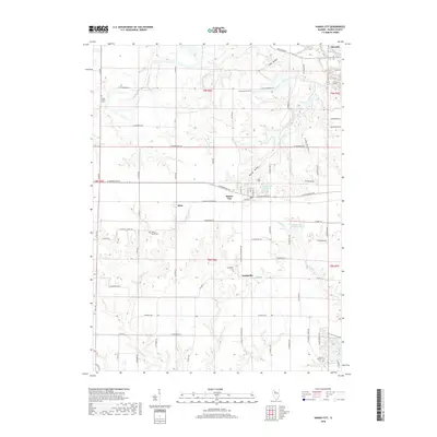
2018 Map of Hanna City
USGS Topo · Published 2018About this map
The agrarian landscape of Peoria County is defined by the intersection of small prairie settlements and a network of deeply etched creek hollows. Hanna City serves as a central hub, flanked by the smaller hamlets of Eden and Smithville. The southern portion of the map is dominated by the planned residential developments surrounding Lake Camelot and Lake Lancelot, where modern water management has reshaped the drainage of the E Br Copperas Cr. Genealogists will find several notable burial sites preserved in this landscape, including Pleasant Grove Cem, Smithville Cem, and Harker's Corner Cem. The terrain is characterized by a series of drainage runs like Nixon Run and Johnson Run, which flow through named depressions such as Coal Hollow and Heaton Hollow. This 2018 survey illustrates the persistent grid of county roads, including W Farmington Rd and Texas Rd, that has organized this central Illinois territory since the early township surveys.
Find a feature on this map
79 named features on this map. Tap any name to fly to it.
Don’t see what you’re looking for? This feature index may not catch every label — zoom into the map to look around manually.
Map Details
Editions of this 2018 Hanna City Map
This is the sole edition of this map. No revisions or reprints were ever made.
Other maps of this area

1893 · Dunlap
USGS Topo · 1:62,500

1898 · Dunlap
USGS Topo · 1:62,500

1905 · Peoria
USGS Topo · 1:62,500

1927 · Peoria
USGS Topo · 1:62,500

1930 · Glasford
USGS Topo · 1:62,500

1932 · Dunlap
USGS Topo · 1:62,500

1933 · Dunlap
USGS Topo · 1:62,500

1937 · Dunlap
USGS Topo · 1:62,500

1944 · Elmwood
USGS Topo · 1:62,500

1948 · Elmwood
USGS Topo · 1:62,500