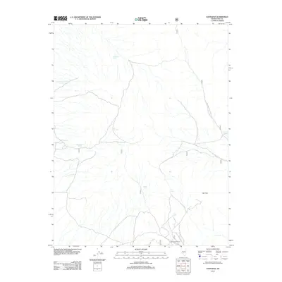
2012 Map of Hannapah
USGS Topo · Published 2012About this map
Hannapah (historical) serves as the primary point of interest in this high-desert region of Nye County, where the legacy of early twentieth-century mining and settlement is preserved through water sources and landscape markers. The terrain is defined by the prominence of Red Peak and a network of essential water points that once sustained travel and activity in this arid environment.
Find a feature on this map
15 named features on this map. Tap any name to fly to it.
Don’t see what you’re looking for? This feature index may not catch every label — zoom into the map to look around manually.
Map Details
Editions of this 2012 Hannapah Map
This is the sole edition of this map. No revisions or reprints were ever made.
Other maps of this area

1907 · Tonopah
USGS Topo · 1:250,000

1908 · Tonopah
USGS Topo · 1:250,000

1956 · Tonopah
USGS Topo · 1:250,000

1959 · Tonopah
USGS Topo · 1:250,000

1961 · Tonopah
USGS Topo · 1:62,500

1962 · Tonopah
USGS Topo · 1:250,000

1963 · Baxter Spring
USGS Topo · 1:62,500

1971 · Antelope Spring
USGS Topo · 1:24,000

1971 · Saulsbury Basin
USGS Topo · 1:24,000
1986 · Mud Spring
USGS Topo · 1:24,000