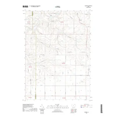
2018 Map of Hanover
USGS Topo · Published 2018About this map
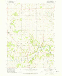
The Upper Iowa River winds through the northern reaches of this landscape, cutting through the driftless area of northeastern Iowa. Near the crossing at Hansens Ford Bridge, the river is joined by Patterson Cr and Mineral Cr, creating a complex drainage system that has long dictated the layout of local roads like Lundy Bridge Rd and Iverson Bridge Rd. The small settlement of Hanover serves as a focal point in the northeast, while the surrounding hillsides are dotted with legacy sites critical for genealogical research, including Saint Patricks Cem and the Eells Plot. This terrain, transitioning between the Winneshiek Co and Allamakee Co border, is characterized by deep hollows like Skaim Hollow Dr and high ridges such as Oneill Ridge Rd, illustrating the rugged agricultural and timbered character of the region.
Find a feature on this map
55 named features on this map. Tap any name to fly to it.
Don’t see what you’re looking for? This feature index may not catch every label — zoom into the map to look around manually.
Map Details
Editions of this 2018 Hanover Map
This is the sole edition of this map. No revisions or reprints were ever made.
Other maps of this area

1903 · Waukon
USGS Topo · 1:125,000

1906 · Decorah
USGS Topo · 1:125,000

1958 · La Crosse
USGS Topo · 1:250,000

1961 · La Crosse
USGS Topo · 1:250,000

1965 · La Crosse
USGS Topo · 1:250,000

1968 · Waukon
USGS Topo · 1:24,000
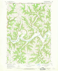
1968 · Waukon NW
USGS Topo · 1:24,000
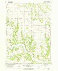
1971 · Rossville
USGS Topo · 1:24,000
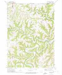
1971 · Dorchester
USGS Topo · 1:24,000
1971 · Frankville
USGS Topo · 1:24,000