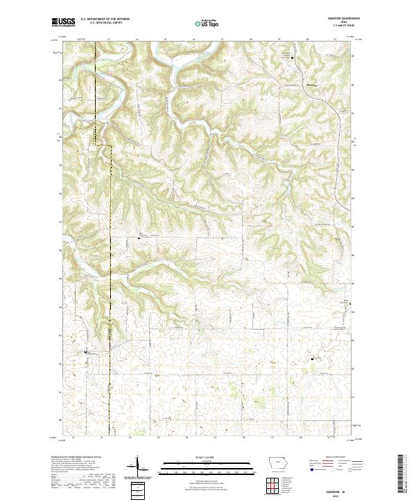
2022 Map of Hanover
USGS Topo · Published 2022About this map
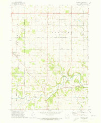
Hanover serves as a focal point for this rural landscape in Allamakee County, where the Upper Iowa River and its numerous tributaries, such as Mineral Cr and Patterson Cr, carve through the terrain. The settlement pattern is defined by upland ridges and narrow valleys, connected by a network of local routes like Ferris Mill Rd and Lundy Bridge Rd. These roads often follow the natural contours of the land, leading to family-named landmarks such as Molitor Hill Rd.
Find a feature on this map
66 named features on this map. Tap any name to fly to it.
Don’t see what you’re looking for? This feature index may not catch every label — zoom into the map to look around manually.
Map Details
Editions of this 2022 Hanover Map
This is the sole edition of this map. No revisions or reprints were ever made.
Other maps of this area

1903 · Waukon
USGS Topo · 1:125,000

1906 · Decorah
USGS Topo · 1:125,000

1958 · La Crosse
USGS Topo · 1:250,000

1961 · La Crosse
USGS Topo · 1:250,000

1965 · La Crosse
USGS Topo · 1:250,000

1968 · Waukon
USGS Topo · 1:24,000
1968 · Waukon NW
USGS Topo · 1:24,000
1971 · Rossville
USGS Topo · 1:24,000
1971 · Dorchester
USGS Topo · 1:24,000
1971 · Frankville
USGS Topo · 1:24,000