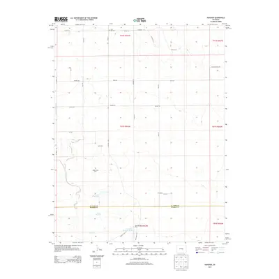
2013 Map of Hanover
USGS Topo · Published 2013About this map
Chico Basin Cem stands as a quiet focal point for genealogy in this prairie landscape along the border of El Paso and Pueblo counties. The area is defined by a sparse but organized ranching economy, with landholdings such as Reble Ranch, Finch Ranch, and the Appelt Junior Ranch spread across the township lines. Water management is central to life here, evidenced by the presence of the Hanover Ditch Number 1 and several localized catchments including Curiton Reservoir and the Smith Reservoir.
Find a feature on this map
35 named features on this map. Tap any name to fly to it.
Don’t see what you’re looking for? This feature index may not catch every label — zoom into the map to look around manually.
Map Details
Editions of this 2013 Hanover Map
This is the sole edition of this map. No revisions or reprints were ever made.
Other maps of this area

1891 · Pueblo
USGS Topo · 1:125,000

1891 · Nepesta
USGS Topo · 1:125,000

1893 · Nepesta
USGS Topo · 1:125,000

1893 · Big Springs
USGS Topo · 1:125,000

1893 · Colorado Springs
USGS Topo · 1:125,000

1894 · Pueblo
USGS Topo · 1:125,000

1896 · Pueblo
USGS Topo · 1:125,000

1897 · Pueblo
USGS Topo · 1:125,000

1904 · Nepesta
USGS Topo · 1:125,000

1909 · Colorado Springs
USGS Topo · 1:125,000