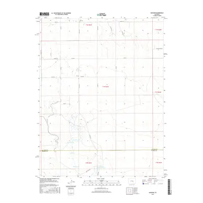
2016 Map of Hanover
USGS Topo · Published 2016About this map
The high plains of eastern Colorado are defined by managed water and vast ranching acreage in this 2016 survey of Hanover. The settlement's geographic orientation centers on the intersection of Hanover Rd and S Peyton Hwy, while its agricultural character is marked by the presence of Hanover Ditch Number 1 and various irrigation catchments. The landscape is primarily shaped by the drainage of Chico Cr and its tributaries, supporting essential water resources for local livestock and homesteads.
Find a feature on this map
32 named features on this map. Tap any name to fly to it.
Don’t see what you’re looking for? This feature index may not catch every label — zoom into the map to look around manually.
Map Details
Editions of this 2016 Hanover Map
This is the sole edition of this map. No revisions or reprints were ever made.
Other maps of this area

1891 · Pueblo
USGS Topo · 1:125,000

1891 · Nepesta
USGS Topo · 1:125,000

1893 · Nepesta
USGS Topo · 1:125,000

1893 · Big Springs
USGS Topo · 1:125,000

1893 · Colorado Springs
USGS Topo · 1:125,000

1894 · Pueblo
USGS Topo · 1:125,000

1896 · Pueblo
USGS Topo · 1:125,000

1897 · Pueblo
USGS Topo · 1:125,000

1904 · Nepesta
USGS Topo · 1:125,000

1909 · Colorado Springs
USGS Topo · 1:125,000