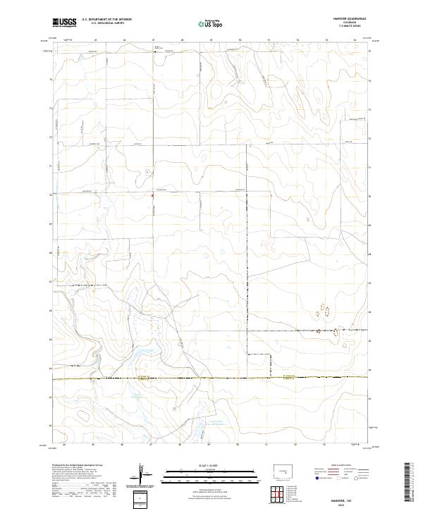
2022 Map of Hanover
USGS Topo · Published 2022About this map
The Chico Basin Cem sits in the northern reaches of this Colorado landscape, marking a site of local genealogical significance within a territory defined by high plains ranching and water management. Modern infrastructure like S Peyton Hwy and Hanover Rd intersects the grid of township and range lines, connecting sparse settlements across the El Paso and Pueblo county line. The southern portion of the quadrangle reveals the importance of water storage and irrigation in this semi-arid environment, anchored by the Smith Reservoir and the J N Holland Reservoir Number 2. These features, along with the Hanover Ditch Number 1 and the winding course of Chico Cr, illustrate the engineered landscape required to support agriculture and livestock in the region south of Colorado Springs.
Find a feature on this map
33 named features on this map. Tap any name to fly to it.
Don’t see what you’re looking for? This feature index may not catch every label — zoom into the map to look around manually.
Map Details
Editions of this 2022 Hanover Map
This is the sole edition of this map. No revisions or reprints were ever made.
Other maps of this area

1891 · Pueblo
USGS Topo · 1:125,000

1891 · Nepesta
USGS Topo · 1:125,000

1893 · Nepesta
USGS Topo · 1:125,000

1893 · Big Springs
USGS Topo · 1:125,000

1893 · Colorado Springs
USGS Topo · 1:125,000

1894 · Pueblo
USGS Topo · 1:125,000

1896 · Pueblo
USGS Topo · 1:125,000

1897 · Pueblo
USGS Topo · 1:125,000

1904 · Nepesta
USGS Topo · 1:125,000

1909 · Colorado Springs
USGS Topo · 1:125,000