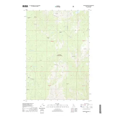
2020 Map of Hanover Mountain
USGS Topo · Published 2020About this map
Gospel Peak and the high ridges of the Nez Perce National Forest dominate this part of Idaho County, where high-elevation drainage systems feed into the Wind River and Hanover Creek. The landscape is defined by a series of alpine meadows and small basins, including Round Bottom Meadows, Wind River Meadows, and Rhett Meadows. These open areas historically served as vital landmarks and grazing grounds within the dense timber of the Salmon River mountains.
Find a feature on this map
52 named features on this map. Tap any name to fly to it.
Don’t see what you’re looking for? This feature index may not catch every label — zoom into the map to look around manually.
Map Details
Editions of this 2020 Hanover Mountain Map
This is the sole edition of this map. No revisions or reprints were ever made.
Other maps of this area

1931 · Buffalo Hump
USGS Topo · 1:125,000

1934 · Buffalo Hump
USGS Topo · 1:125,000

1938 · Riggins
USGS Topo · 1:96,000

1945 · Riggins
USGS Topo · 1:125,000

1955 · Grangeville
USGS Topo · 1:250,000

1956 · Burgdorf
USGS Topo · 1:62,500

1956 · Elk City
USGS Topo · 1:250,000

1959 · Grangeville
USGS Topo · 1:250,000

1960 · Elk City
USGS Topo · 1:250,000

1963 · Sourdough Peak
USGS Topo · 1:24,000