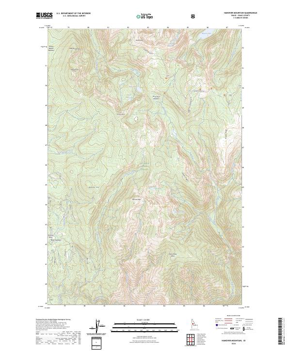
2024 Map of Hanover Mountain
USGS Topo · Published 2024About this map
Gospel-Hump Wilderness dominates this high-altitude section of the Nez Perce National Forest, where the landscape is defined by the steep drainages of the Wind River and Slate Creek. The terrain is punctuated by significant summits such as Gospel Peak and Hanover Mtn, with many of the lower areas, including Florence Basin and Rhett Meadows, providing evidence of the region's historic mining and grazing activity. The network of high-country lakes like Moores Lake, Upper Slate Lake, and Indigo Lake suggests a rugged environment shaped by glacial activity.
Find a feature on this map
40 named features on this map. Tap any name to fly to it.
Don’t see what you’re looking for? This feature index may not catch every label — zoom into the map to look around manually.
Map Details
Editions of this 2024 Hanover Mountain Map
This is the sole edition of this map. No revisions or reprints were ever made.
Other maps of this area

1931 · Buffalo Hump
USGS Topo · 1:125,000

1934 · Buffalo Hump
USGS Topo · 1:125,000

1938 · Riggins
USGS Topo · 1:96,000

1945 · Riggins
USGS Topo · 1:125,000

1955 · Grangeville
USGS Topo · 1:250,000

1956 · Burgdorf
USGS Topo · 1:62,500

1956 · Elk City
USGS Topo · 1:250,000

1959 · Grangeville
USGS Topo · 1:250,000

1960 · Elk City
USGS Topo · 1:250,000

1963 · Sourdough Peak
USGS Topo · 1:24,000