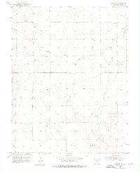
1954 Map of Hanover NW
USGS Topo · Published 1976About this map
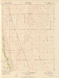
Arid grazing lands and high-plains topography characterize this 1954 survey of El Paso County. The landscape is defined by the ephemeral drainages of Chico Creek and Squirrel Creek, which cut through the terrain toward the south. A sparse network of Jeep Trails and the primary east-west corridor of Squirrel Creek Road provide the only significant access across the prairie. The sheer number of Windmills scattered across nearly every section of the grid underscores the necessity of groundwater for ranching operations in this portion of the Colorado plains. A prominent natural landmark, Crows Roost, stands in the northeastern corner of the quadrangle, overlooking the winding path of Squirrel Creek.
Find a feature on this map
8 named features on this map. Tap any name to fly to it.
Don’t see what you’re looking for? This feature index may not catch every label — zoom into the map to look around manually.
Map Details
Editions of this 1954 Hanover NW Map
Other maps of this area

1893 · Big Springs
USGS Topo · 1:125,000

1893 · Colorado Springs
USGS Topo · 1:125,000

1909 · Colorado Springs
USGS Topo · 1:125,000

1942 · Colorado Springs
USGS Topo · 1:125,000

1948 · Fountain SE
USGS Topo · 1:24,000

1948 · Falcon
USGS Topo · 1:62,500

1949 · Corral Bluffs
USGS Topo · 1:24,000
1950 · Fountain NE
USGS Topo · 1:24,000
1950 · Fountain SE
USGS Topo · 1:24,000
1951 · Falcon
USGS Topo · 1:62,500