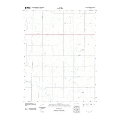
2009 Map of Hanover SE
USGS Topo · Published 2009About this map
Pecenka Cemetery and Evergreen Cemetery mark the agricultural uplands of Marshall County in this early 21st-century survey. The landscape is defined by a rigorous grid of section roads including Indian Rd and Limestone Rd, which cut across a series of drainages feeding the larger river system to the south. The most significant of these is the Little Blue River, which meanders through the southwestern portion of the sheet. Numerous smaller waterways like Knedlik Creek, Bolling Creek, and Walnut Creek carve through the prairie, illustrating the complex hydrology of the Kansas plains. A notable corridor is the Pony Express Hwy, which bisects the northern half of the map, tracing a route with deep ties to the pioneer history of the American West.
Find a feature on this map
30 named features on this map. Tap any name to fly to it.
Don’t see what you’re looking for? This feature index may not catch every label — zoom into the map to look around manually.
Map Details
Editions of this 2009 Hanover SE Map
This is the sole edition of this map. No revisions or reprints were ever made.
Other maps of this area

1889 · Marysville
USGS Topo · 1:125,000

1894 · Marysville
USGS Topo · 1:125,000

1955 · Manhattan
USGS Topo · 1:250,000

1956 · Manhattan
USGS Topo · 1:250,000

1957 · Manhattan
USGS Topo · 1:250,000

1966 · Marysville
USGS Topo · 1:24,000

1966 · Hanover SE
USGS Topo · 1:24,000

1966 · Hanover SW
USGS Topo · 1:24,000
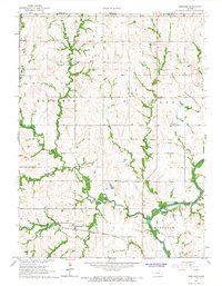
1966 · Herkimer
USGS Topo · 1:24,000
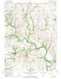
1966 · Hanover West
USGS Topo · 1:24,000