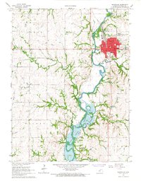
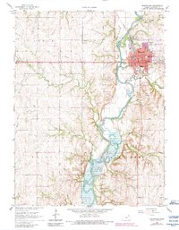
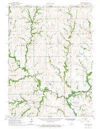
1966 Map of Marysville
USGS Topo · Published 1967About this map
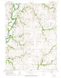
The Big Blue River corridor dominates this mid-1960s landscape, winding south from the industrial hub of Marysville into the northern reaches of the Tuttle Creek Reservoir. The town of Marysville is shown in significant detail, featuring civic and educational landmarks such as Lincoln Sch, St Gregorys Sch, and the Armory near the Union Pacific rail lines. South of the main settlement, the smaller community of Shroyer is visible along the riverbank, accompanied by the Shroyer Cem.
Find a feature on this map
41 named features on this map. Tap any name to fly to it.
Don’t see what you’re looking for? This feature index may not catch every label — zoom into the map to look around manually.
Map Details
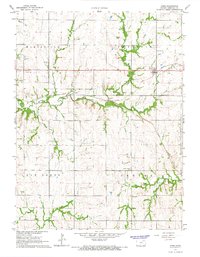
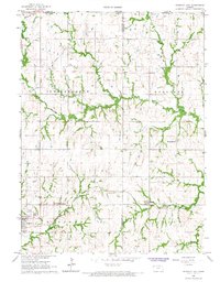
Editions of this 1966 Marysville Map
2 editions found
Other maps of this area

1889 · Marysville
USGS Topo · 1:125,000

1894 · Marysville
USGS Topo · 1:125,000

1955 · Manhattan
USGS Topo · 1:250,000

1956 · Manhattan
USGS Topo · 1:250,000

1957 · Manhattan
USGS Topo · 1:250,000
1966 · Oketo
USGS Topo · 1:24,000
1966 · Hanover SE
USGS Topo · 1:24,000
1966 · Herkimer
USGS Topo · 1:24,000
1966 · Home
USGS Topo · 1:24,000
1966 · Hanover East
USGS Topo · 1:24,000