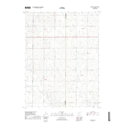
2018 Map of Hanover SE
USGS Topo · Published 2018About this map
The Little Blue River winds through the southwestern corner of this rural landscape, joined by a dense network of tributaries including Knedlik Cr, Bolling Cr, and Malone Cr. This region, defined by the border between Washington and Marshall Counties, maintains a strictly agricultural grid of section lines and gravel roads such as All American Rd and Jayhawk Rd. This late-stage topographic record shows the persistent placement of local landmarks like Pecenka Cem and Evergreen Cem, which serve as primary anchors for genealogical research in an area otherwise characterized by its undulating drainage basins. The intricate mapping of waterways like Mountain Cr and Walnut Cr illustrates the complex natural irrigation of the Kansas prairie, where the terrain slopes toward the river valley to the south.
Find a feature on this map
45 named features on this map. Tap any name to fly to it.
Don’t see what you’re looking for? This feature index may not catch every label — zoom into the map to look around manually.
Map Details
Editions of this 2018 Hanover SE Map
This is the sole edition of this map. No revisions or reprints were ever made.
Other maps of this area

1889 · Marysville
USGS Topo · 1:125,000

1894 · Marysville
USGS Topo · 1:125,000

1955 · Manhattan
USGS Topo · 1:250,000

1956 · Manhattan
USGS Topo · 1:250,000

1957 · Manhattan
USGS Topo · 1:250,000

1966 · Marysville
USGS Topo · 1:24,000

1966 · Hanover SE
USGS Topo · 1:24,000

1966 · Hanover SW
USGS Topo · 1:24,000
1966 · Herkimer
USGS Topo · 1:24,000
1966 · Hanover West
USGS Topo · 1:24,000