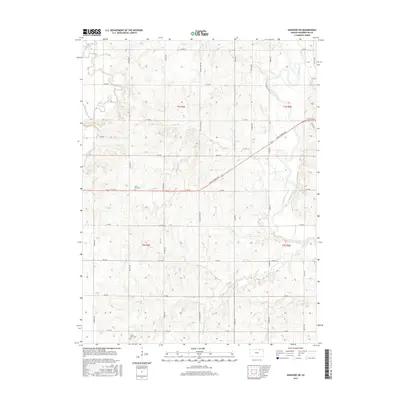
2015 Map of Hanover SW
USGS Topo · Published 2015About this map
Washington County farmland is dissected by the Little Blue River and several tributary creeks in this 2015 survey. The terrain is marked by the enduring agricultural grid of North Central Kansas, where named roads like Wagon Train Rd and Pony Express Ave hint at the historic transit corridors that once crossed this prairie. These routes follow the natural drainage patterns of Mill Creek and Beaver Cr, connecting isolated farmsteads across the township lines of t2s r4e and t3s r5e.
Find a feature on this map
32 named features on this map. Tap any name to fly to it.
Don’t see what you’re looking for? This feature index may not catch every label — zoom into the map to look around manually.
Map Details
Editions of this 2015 Hanover SW Map
This is the sole edition of this map. No revisions or reprints were ever made.
Other maps of this area

1889 · Marysville
USGS Topo · 1:125,000

1893 · Washington
USGS Topo · 1:125,000

1894 · Marysville
USGS Topo · 1:125,000

1955 · Manhattan
USGS Topo · 1:250,000

1956 · Manhattan
USGS Topo · 1:250,000

1957 · Manhattan
USGS Topo · 1:250,000

1966 · Washington
USGS Topo · 1:24,000

1966 · Hanover SE
USGS Topo · 1:24,000

1966 · Hanover SW
USGS Topo · 1:24,000
1966 · Washington NE
USGS Topo · 1:24,000