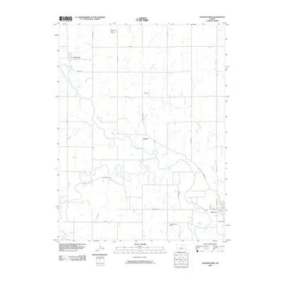
2009 Map of Hanover West
USGS Topo · Published 2009About this map
The Little Blue River and Mill Creek define the landscape of Washington County in the late 2000s, carving paths through the agricultural grid of northern Kansas. This survey details the rural organization of the land, from the northern settlement of Hollenberg to the outskirts of Hanover in the southeast. A legacy of local travel and commerce is reflected in road names such as Wagon Train Rd and Bonds Mill Ave, while Prall Cemetery serves as a fixed point of genealogical interest. The area’s modern utility is evident in private aviation facilities like Wasseman Farms Airport and Coufal-Warren Airport, alongside the smaller crossroads of Spence. The map documents the persistent layout of section roads and river bends that have governed life in this corner of the state for generations.
Find a feature on this map
29 named features on this map. Tap any name to fly to it.
Don’t see what you’re looking for? This feature index may not catch every label — zoom into the map to look around manually.
Map Details
Editions of this 2009 Hanover West Map
This is the sole edition of this map. No revisions or reprints were ever made.
Other maps of this area

1889 · Marysville
USGS Topo · 1:125,000

1893 · Washington
USGS Topo · 1:125,000

1894 · Marysville
USGS Topo · 1:125,000

1955 · Manhattan
USGS Topo · 1:250,000

1955 · Lincoln
USGS Topo · 1:250,000

1956 · Manhattan
USGS Topo · 1:250,000

1957 · Manhattan
USGS Topo · 1:250,000

1957 · Lincoln
USGS Topo · 1:250,000

1958 · Lincoln
USGS Topo · 1:250,000

1966 · Washington
USGS Topo · 1:24,000