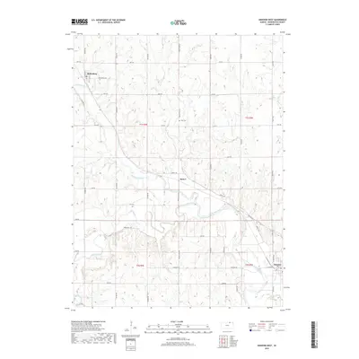
2018 Map of Hanover West
USGS Topo · Published 2018About this map
Hanover and the surrounding river valleys of Washington County are documented here in detail, showcasing a landscape defined by the winding course of the Little Blue River and its numerous tributaries. The terrain is characterized by the confluence of Mill Creek and smaller waters like Cottonwood Cr and Joy Cr, which carve through the agricultural uplands. Settlement patterns are focused along the river plains and established corridors like Hanover Ave and Spence Ave, where the small communities of Hollenberg and Spence serve as local landmarks. The map preserves significant historical identifiers for genealogists and local historians, including the Prall Cem and evocative road names such as Wagon Train Rd and Bonds Mill Ave. This survey provides a precise view of the rural infrastructure and land divisions across the townships of T1S and T2S at the end of the 2010s.
Find a feature on this map
38 named features on this map. Tap any name to fly to it.
Don’t see what you’re looking for? This feature index may not catch every label — zoom into the map to look around manually.
Map Details
Editions of this 2018 Hanover West Map
This is the sole edition of this map. No revisions or reprints were ever made.
Other maps of this area

1889 · Marysville
USGS Topo · 1:125,000

1893 · Washington
USGS Topo · 1:125,000

1894 · Marysville
USGS Topo · 1:125,000

1955 · Manhattan
USGS Topo · 1:250,000

1955 · Lincoln
USGS Topo · 1:250,000

1956 · Manhattan
USGS Topo · 1:250,000

1957 · Manhattan
USGS Topo · 1:250,000

1957 · Lincoln
USGS Topo · 1:250,000

1958 · Lincoln
USGS Topo · 1:250,000

1966 · Washington
USGS Topo · 1:24,000