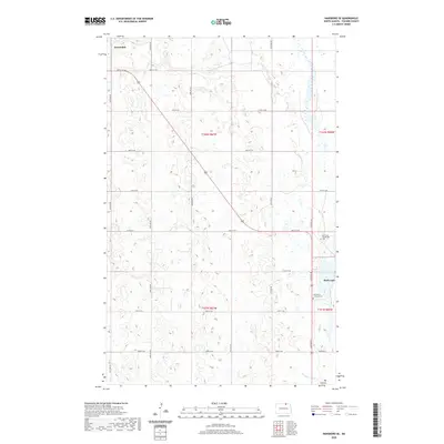
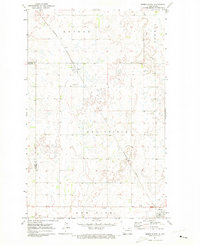
2020 Map of Hansboro SE
USGS Topo · Published 2020About this map
Amourdale sits in the northwest corner of this agricultural landscape, where the flat plains of Towner County are defined by a rhythmic grid of gravel roads including 100th St NE and 61st Ave NE. The terrain is characterized by numerous small prairie potholes and wetlands that feed into larger hydrological systems like Mauvais Coulee and Big Coulee in the south. Along the eastern edge, Rock Lake provides a significant water feature, while the presence of the Rock Lake Community Cem and All Nations Lutheran Cem serves as a tangible link to the area's early homesteading families and religious history. This survey illustrates the enduring section-line road system that has governed North Dakota's rural development for over a century.
Find a feature on this map
26 named features on this map. Tap any name to fly to it.
Don’t see what you’re looking for? This feature index may not catch every label — zoom into the map to look around manually.
Map Details
Editions of this 2020 Hansboro SE Map
This is the sole edition of this map. No revisions or reprints were ever made.
Other maps of this area

1953 · Devils Lake
USGS Topo · 1:250,000

1956 · Devils Lake
USGS Topo · 1:250,000
1962 · Snyder Lake
USGS Topo · 1:24,000
1969 · Hansboro NE
USGS Topo · 1:24,000
1969 · Hansboro
USGS Topo · 1:24,000
1969 · Rock Lake NW
USGS Topo · 1:24,000
1970 · Hansboro SW
USGS Topo · 1:24,000
1970 · Hansboro SE
USGS Topo · 1:24,000
1970 · Rock Lake
USGS Topo · 1:24,000
1971 · Bisbee North
USGS Topo · 1:24,000