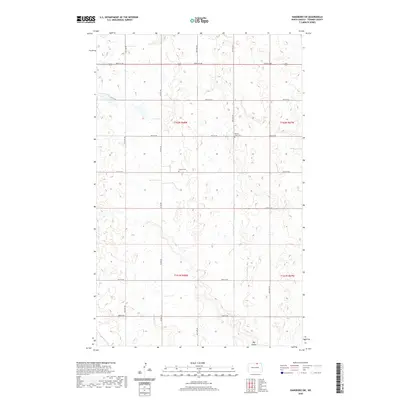
2020 Map of Hansboro SW
USGS Topo · Published 2020About this map
The agricultural grid of Towner County is etched across this prairie landscape, defined by a regular network of section lines and gravel roads such as Picton Rd and 100th St Ne. Two sites of local genealogical significance, the Finnish Cem and Mount View Cem, remain as landmarks of the early homesteading era when Scandinavian and European settlers established these remote townships. The terrain is marked by numerous prairie potholes and wetlands, with the larger drainage of Big Coulee cutting through the southeastern corner of the quadrangle. This survey illustrates the enduring persistence of the Public Land Survey System, where townships like t162n r68w are carved into a geometric pattern that still dictates the flow of movement and settlement in rural North Dakota.
Find a feature on this map
19 named features on this map. Tap any name to fly to it.
Don’t see what you’re looking for? This feature index may not catch every label — zoom into the map to look around manually.
Map Details
Editions of this 2020 Hansboro SW Map
This is the sole edition of this map. No revisions or reprints were ever made.
Other maps of this area

1953 · Devils Lake
USGS Topo · 1:250,000

1956 · Devils Lake
USGS Topo · 1:250,000
1969 · Hansboro NE
USGS Topo · 1:24,000
1969 · Hansboro
USGS Topo · 1:24,000

1969 · Rolla NE
USGS Topo · 1:24,000

1970 · Hansboro SW
USGS Topo · 1:24,000

1970 · Hansboro SE
USGS Topo · 1:24,000

1970 · Rolla
USGS Topo · 1:24,000

1971 · Mylo
USGS Topo · 1:24,000

1971 · Bisbee North
USGS Topo · 1:24,000