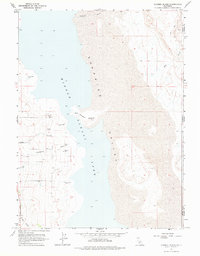
1963 Map of Hansen Island
USGS Topo · Published 1976About this map
Surprise Valley and the expansive basin of Middle Alkali Lake dominate this 1960s landscape along the border of California and Nevada. The geography is defined by its arid hydrology, where numerous instances of Flowing Well and Flowing Wells suggest a reliance on subterranean water sources to sustain the area. Hansen Island stands as a distinct landform within the lake bed, connected by a Spring and seasonal drainages. On the western edge, Surprise Valley Road serves as the primary corridor for movement, while the eastern side of the quadrangle is largely undeveloped, marked only by a Trail and Jeep Trail winding through the foothills. Small watercourses like Cottonwood Creek, Owl Creek, and Fortynine Creek descend from the higher elevations, illustrating the drainage patterns that feed the valley floor.
Find a feature on this map
19 named features on this map. Tap any name to fly to it.
Don’t see what you’re looking for? This feature index may not catch every label — zoom into the map to look around manually.
Map Details
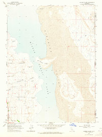
Editions of this 1963 Hansen Island Map
2 editions found
Other maps of this area

1886 · Alturas
USGS Topo · 1:250,000

1889 · Long Valley
USGS Topo · 1:250,000

1892 · Alturas
USGS Topo · 1:250,000

1954 · Vya
USGS Topo · 1:250,000

1954 · Alturas
USGS Topo · 1:250,000

1958 · Alturas
USGS Topo · 1:250,000

1958 · Vya
USGS Topo · 1:250,000

1962 · Alturas
USGS Topo · 1:250,000

1962 · Vya
USGS Topo · 1:250,000

1962 · Cedarville
USGS Topo · 1:62,500