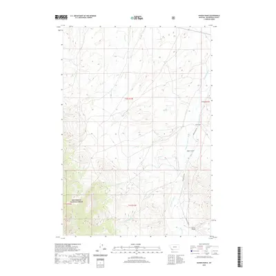
2020 Map of Hansen Ranch
USGS Topo · Published 2020About this map
Hansen Ranch sits along the foothills of the Beaverhead Mountains, marking a pocket of private holdings within the expansive Beaverhead National Forest. This 2020 survey of Beaverhead County documents a landscape defined by its network of high-country drainage systems, where Medicine Lodge Creek serves as the primary artery. The canyon-and-creek topography is accessible via the unpaved Medicine Lodge Road, which follows the north-south orientation of the valley floor.
Find a feature on this map
16 named features on this map. Tap any name to fly to it.
Don’t see what you’re looking for? This feature index may not catch every label — zoom into the map to look around manually.
Map Details
Editions of this 2020 Hansen Ranch Map
This is the sole edition of this map. No revisions or reprints were ever made.
Other maps of this area

1893 · Dillon
USGS Topo · 1:250,000

1952 · Eli Spring
USGS Topo · 1:24,000

1955 · Dubois
USGS Topo · 1:250,000

1955 · Dillon
USGS Topo · 1:250,000

1957 · Dillon
USGS Topo · 1:250,000

1958 · Dubois
USGS Topo · 1:250,000

1958 · Dillon
USGS Topo · 1:250,000

1959 · Grant
USGS Topo · 1:62,500

1962 · Dillon
USGS Topo · 1:250,000
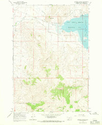
1965 · Garfield Canyon
USGS Topo · 1:24,000