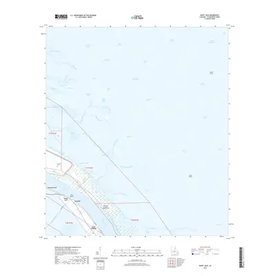
2018 Map of Happy Jack
USGS Topo · Published 2018About this map
Port Sulphur and the Mississippi River dominate the southwestern corridor of this Plaquemines Parish landscape, where the land narrows between the river and the marshy expanses of the Gulf coast. This modern survey reflects the complex hydrology of the delta, illustrating the vital role of water management through features like the Pointe A La Hache Relief Outlet and Martins Canal. Small communities such as Happy Jack, Encalade, and Point Michel are positioned along the natural levee, connected by the historic route of River Rd and Levee Rd.
Find a feature on this map
60 named features on this map. Tap any name to fly to it.
Don’t see what you’re looking for? This feature index may not catch every label — zoom into the map to look around manually.
Map Details
Editions of this 2018 Happy Jack Map
This is the sole edition of this map. No revisions or reprints were ever made.
Other maps of this area

1891 · Pointe a La Hache
USGS Topo · 1:62,500

1892 · Quarantine
USGS Topo · 1:62,500

1892 · Pointe a La Hache
USGS Topo · 1:62,500

1893 · Fort Livingston
USGS Topo · 1:62,500

1893 · Dime
USGS Topo · 1:62,500

1935 · Port Sulphur
USGS Topo · 1:31,680

1935 · Lake Calebasse
USGS Topo · 1:31,680

1935 · Lake Batola
USGS Topo · 1:31,680

1935 · Tropical Bend
USGS Topo · 1:31,680

1939 · Pointe a La Hache
USGS Topo · 1:62,500