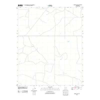
2010 Map of Harben Lake
USGS Topo · Published 2010About this map
Hicks Ranch and the namesake Harben Lake anchor this 2010 topographic representation of an arid Guadalupe County landscape. The area is defined by a complex network of seasonal drainage channels, most notably the winding Arroyo Potrillo and Arroyo San Juan de Dios. Human presence is primarily indicated by a grid of county roads, including County Rd-2 and its various spurs, which navigate the subtle changes in elevation across the plains.
Find a feature on this map
11 named features on this map. Tap any name to fly to it.
Don’t see what you’re looking for? This feature index may not catch every label — zoom into the map to look around manually.
Map Details
Editions of this 2010 Harben Lake Map
This is the sole edition of this map. No revisions or reprints were ever made.
Other maps of this area

1892 · Corazon
USGS Topo · 1:125,000

1894 · Corazon
USGS Topo · 1:125,000

1954 · Santa Fe
USGS Topo · 1:250,000

1954 · Fort Sumner
USGS Topo · 1:250,000

1958 · Fort Sumner
USGS Topo · 1:250,000

1958 · Santa Fe
USGS Topo · 1:250,000

1963 · Sunshine Mesa
USGS Topo · 1:24,000

1963 · Puerto De Luna
USGS Topo · 1:24,000

1963 · Sacaton Draw
USGS Topo · 1:24,000

1963 · Cuervo
USGS Topo · 1:24,000