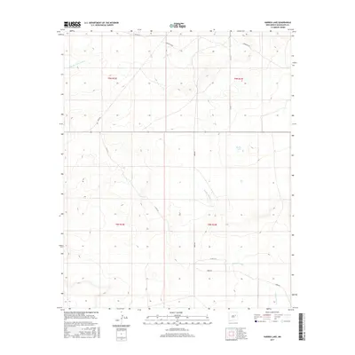
2017 Map of Harben Lake
USGS Topo · Published 2017About this map
Harben Lake sits within a landscape defined by seasonal watercourses in this high-desert region of eastern New Mexico. The drainage patterns are dominated by several arroyos and creeks, most notably Arroyo Potrillo which winds through the southern half of the quadrangle and Arroyo San Juan de Dios in the northwest. The terrain is marked by the presence of Cuervito Creek, showing the reliance of local hydrology on these intermittent features.
Find a feature on this map
16 named features on this map. Tap any name to fly to it.
Don’t see what you’re looking for? This feature index may not catch every label — zoom into the map to look around manually.
Map Details
Editions of this 2017 Harben Lake Map
This is the sole edition of this map. No revisions or reprints were ever made.
Other maps of this area

1892 · Corazon
USGS Topo · 1:125,000

1894 · Corazon
USGS Topo · 1:125,000

1954 · Santa Fe
USGS Topo · 1:250,000

1954 · Fort Sumner
USGS Topo · 1:250,000

1958 · Fort Sumner
USGS Topo · 1:250,000

1958 · Santa Fe
USGS Topo · 1:250,000

1963 · Sunshine Mesa
USGS Topo · 1:24,000

1963 · Puerto De Luna
USGS Topo · 1:24,000

1963 · Sacaton Draw
USGS Topo · 1:24,000

1963 · Cuervo
USGS Topo · 1:24,000