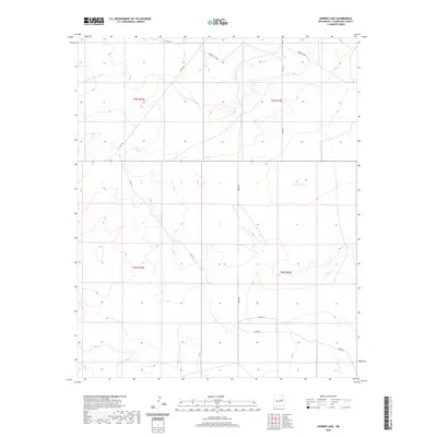
2020 Map of Harben Lake
USGS Topo · Published 2020About this map
Harben Lake and its surrounding drainage systems define this high-plains landscape in Guadalupe County. The area is characterized by a network of seasonal watercourses, including the Arroyo Potrillo and the Arroyo San Juan de Dios, which reveal the erosional patterns of the New Mexico terrain. These arroyos and Cuervito Creek are crucial landmarks in a region defined by expansive ranching and land divisions.
Find a feature on this map
17 named features on this map. Tap any name to fly to it.
Don’t see what you’re looking for? This feature index may not catch every label — zoom into the map to look around manually.
Map Details
Editions of this 2020 Harben Lake Map
This is the sole edition of this map. No revisions or reprints were ever made.
Other maps of this area

1892 · Corazon
USGS Topo · 1:125,000

1894 · Corazon
USGS Topo · 1:125,000

1954 · Santa Fe
USGS Topo · 1:250,000

1954 · Fort Sumner
USGS Topo · 1:250,000

1958 · Fort Sumner
USGS Topo · 1:250,000

1958 · Santa Fe
USGS Topo · 1:250,000

1963 · Sunshine Mesa
USGS Topo · 1:24,000

1963 · Puerto De Luna
USGS Topo · 1:24,000

1963 · Sacaton Draw
USGS Topo · 1:24,000

1963 · Cuervo
USGS Topo · 1:24,000