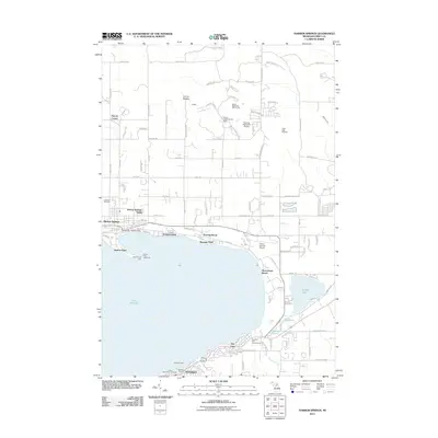
2011 Map of Harbor Springs
USGS Topo · Published 2011About this map
The Little Traverse Bay shoreline defines this area, where a string of summer communities and historic settlements line the northern coast. From the distinctive spit of Harbor Point, maritime history is marked by the Harbor Point Lighthouse and the Harbor Point Light, guarding the entrance to Harbor Springs. Moving east along the bay, the map documents the established layouts of Wequetonsing, Roaring Brook, Ramona Park, and Menonaqua Beach, showing a dense pattern of coastal development before reaching the northern edge of Petoskey.
Find a feature on this map
71 named features on this map. Tap any name to fly to it.
Don’t see what you’re looking for? This feature index may not catch every label — zoom into the map to look around manually.
Map Details
Editions of this 2011 Harbor Springs Map
This is the sole edition of this map. No revisions or reprints were ever made.
Other maps of this area

1955 · Cheboygan
USGS Topo · 1:250,000

1958 · Cheboygan
USGS Topo · 1:250,000

1958 · Cross Village
USGS Topo · 1:62,500

1958 · Pellston
USGS Topo · 1:62,500

1958 · Bayshore
USGS Topo · 1:62,500

1958 · Petoskey
USGS Topo · 1:62,500

1975 · Petoskey NW
USGS Topo · 1:24,000

1975 · Petoskey SW
USGS Topo · 1:24,000

1975 · Petoskey NE
USGS Topo · 1:24,000

1982 · Petoskey
USGS Topo · 1:100,000