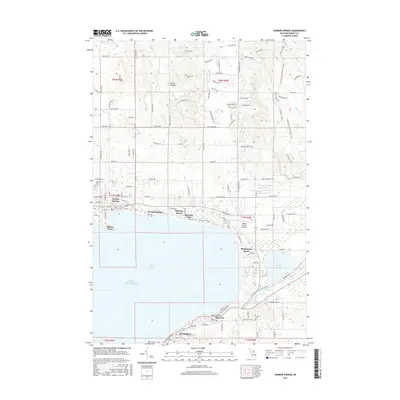
2017 Map of Harbor Springs
USGS Topo · Published 2017About this map
Petoskey and Harbor Springs anchor the opposite shores of Little Traverse Bay, showcasing the late-twentieth-century development of this storied northern Michigan coastal corridor. The map documents a dense network of lakeside communities and seasonal enclaves, including the historic associations at Bay View, Wequetonsing, and Roaring Brook. These settlements are linked by coastal roads and the transition from the waterfront to the higher elevations of Emmet Heights and Highland Park.
Find a feature on this map
108 named features on this map. Tap any name to fly to it.
Don’t see what you’re looking for? This feature index may not catch every label — zoom into the map to look around manually.
Map Details
Editions of this 2017 Harbor Springs Map
This is the sole edition of this map. No revisions or reprints were ever made.
Other maps of this area

1955 · Cheboygan
USGS Topo · 1:250,000

1958 · Cheboygan
USGS Topo · 1:250,000

1958 · Cross Village
USGS Topo · 1:62,500

1958 · Pellston
USGS Topo · 1:62,500

1958 · Bayshore
USGS Topo · 1:62,500

1958 · Petoskey
USGS Topo · 1:62,500

1975 · Petoskey NW
USGS Topo · 1:24,000

1975 · Petoskey SW
USGS Topo · 1:24,000

1975 · Petoskey NE
USGS Topo · 1:24,000

1982 · Petoskey
USGS Topo · 1:100,000