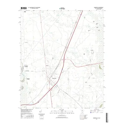
2017 Map of Hardeeville
USGS Topo · Published 2017About this map
Hardeeville serves as the central hub of this South Carolina lowcountry landscape, where modern transportation corridors like the General William Hardee Blvd intersect a legacy of river-based commerce. The western edge of the map is defined by the winding Savannah River, marking the border between Georgia and South Carolina. Along these banks, sites like Purrysburgh Landing and Mill Stone Landing point to the historic importance of the river for transport and trade.
Find a feature on this map
78 named features on this map. Tap any name to fly to it.
Don’t see what you’re looking for? This feature index may not catch every label — zoom into the map to look around manually.
Map Details
Editions of this 2017 Hardeeville Map
This is the sole edition of this map. No revisions or reprints were ever made.
Other maps of this area

1920 · Hardeeville
USGS Topo · 1:62,500

1920 · Okatie
USGS Topo · 1:62,500

1920 · Bluffton
USGS Topo · 1:62,500

1942 · Savannah
USGS Topo · 1:62,500

1942 · Okatie
USGS Topo · 1:62,500

1943 · Hardeeville
USGS Topo · 1:62,500

1945 · Bluffton
USGS Topo · 1:62,500

1947 · Savannah
USGS Topo · 1:250,000

1948 · Savannah
USGS Topo · 1:250,000

1953 · Hardeeville
USGS Topo · 1:62,500