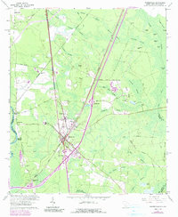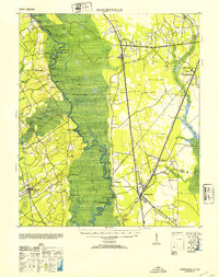
1953 Map of Hardeeville
USGS Topo · Published 1953About this map
Purrysburg and the surrounding marshlands of the Savannah River define this mid-century portrait of the South Carolina and Georgia borderlands. The landscape is characterized by a dense network of logging sites along the river, such as Symons Log, Old Wood Log, and Newington Log, reflecting the active timber and river economy of the era. On the South Carolina side, the Atlantic Coast Line and Southern railroads intersect at Hardeeville, while the Charleston & Western Carolina railway tracks north toward Tillman. Historical river crossings like Sisters Ferry and the Becks Ferry (Abandoned) show the evolution of regional transport. Genealogists and historians can locate specific landmarks including the Okatie Club near Switzerland and the Indian Mound south of Purrysburg, providing a clear view of the cultural and industrial footprint in Jasper and Beaufort counties.
Find a feature on this map
56 named features on this map. Tap any name to fly to it.
Don’t see what you’re looking for? This feature index may not catch every label — zoom into the map to look around manually.
Map Details
Editions of this 1953 Hardeeville Map
This is the sole edition of this map. No revisions or reprints were ever made.
Historical Maps of Rincon Through Time
9 maps found