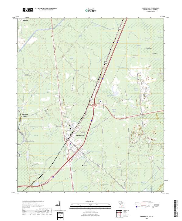
2024 Map of Hardeeville
USGS Topo · Published 2024About this map
The Savannah River corridor and the Lowcountry wetlands of Jasper County dominate this 2024 landscape. The city of Hardeeville serves as the central hub, where General William Hardee Blvd intersects a complex grid of local streets and modern infrastructure. To the west, the historic site of Purysburgh and Purysburgh Landing recalls the area's colonial-era river commerce, situated just north of the expansive Savannah National Wildlife Refuge.
Find a feature on this map
86 named features on this map. Tap any name to fly to it.
Don’t see what you’re looking for? This feature index may not catch every label — zoom into the map to look around manually.
Map Details
Editions of this 2024 Hardeeville Map
This is the sole edition of this map. No revisions or reprints were ever made.
Other maps of this area

1920 · Hardeeville
USGS Topo · 1:62,500

1920 · Okatie
USGS Topo · 1:62,500

1920 · Bluffton
USGS Topo · 1:62,500

1942 · Savannah
USGS Topo · 1:62,500

1942 · Okatie
USGS Topo · 1:62,500

1943 · Hardeeville
USGS Topo · 1:62,500

1945 · Bluffton
USGS Topo · 1:62,500

1947 · Savannah
USGS Topo · 1:250,000

1948 · Savannah
USGS Topo · 1:250,000

1953 · Hardeeville
USGS Topo · 1:62,500