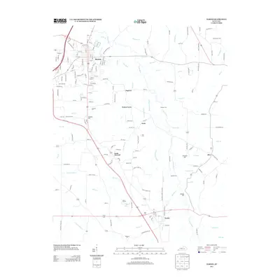
2013 Map of Hardin
USGS Topo · Published 2013About this map
Clarks River and its numerous tributaries, including Johns River and Elizabeth Creek, define the topography of this Marshall County landscape. The area is anchored by the northern seat of Benton, where a dense grid of residential streets like Locust Street and Sycamore Drive meet the Purchase Parkway. To the south, the landscape transitions into a network of smaller communities including Dogtown, Hardin, and South Marshall.
Find a feature on this map
174 named features on this map. Tap any name to fly to it.
Don’t see what you’re looking for? This feature index may not catch every label — zoom into the map to look around manually.
Map Details
Editions of this 2013 Hardin Map
This is the sole edition of this map. No revisions or reprints were ever made.
Other maps of this area

1936 · Oak Level
USGS Topo · 1:24,000

1936 · Elva
USGS Topo · 1:24,000

1936 · Hardin
USGS Topo · 1:24,000

1936 · Hiatt
USGS Topo · 1:24,000

1936 · Benton
USGS Topo · 1:48,000

1936 · Birmingham
USGS Topo · 1:24,000

1936 · Golden Pond
USGS Topo · 1:48,000

1936 · Dexter
USGS Topo · 1:24,000

1936 · Hico
USGS Topo · 1:24,000

1936 · Kirksey
USGS Topo · 1:24,000