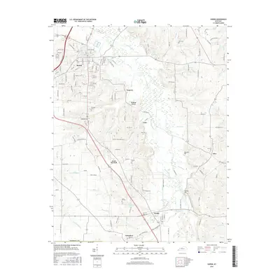
2016 Map of Hardin
USGS Topo · Published 2016About this map
Benton and Hardin serve as the primary hubs in this southern Kentucky landscape, where the Clarks River and its intricate network of tributaries like Beaverdam Slough and Ellison Cr define the geography. The region's history is deeply etched in its family cemeteries, including Ford Cem, Dunn Cem, and Horn Cem, which are scattered among smaller communities such as Dogtown, Walnut Grove, and Olive. The terrain's karst character is evidenced by Sinkhole Hill south of Benton. Modern infrastructure, notably the Purchase Pkwy, cuts through a rural grid of namesake roads like Slaughter Rd and Collins Farm Rd. The map also captures the site of Wadesboro, once a significant early 19th-century county seat, now represented by its surviving namesake Wadesboro Cem near the southern boundary.
Find a feature on this map
112 named features on this map. Tap any name to fly to it.
Don’t see what you’re looking for? This feature index may not catch every label — zoom into the map to look around manually.
Map Details
Editions of this 2016 Hardin Map
This is the sole edition of this map. No revisions or reprints were ever made.
Other maps of this area

1936 · Oak Level
USGS Topo · 1:24,000

1936 · Elva
USGS Topo · 1:24,000

1936 · Hardin
USGS Topo · 1:24,000

1936 · Hiatt
USGS Topo · 1:24,000

1936 · Benton
USGS Topo · 1:48,000

1936 · Birmingham
USGS Topo · 1:24,000

1936 · Golden Pond
USGS Topo · 1:48,000

1936 · Dexter
USGS Topo · 1:24,000

1936 · Hico
USGS Topo · 1:24,000

1936 · Kirksey
USGS Topo · 1:24,000