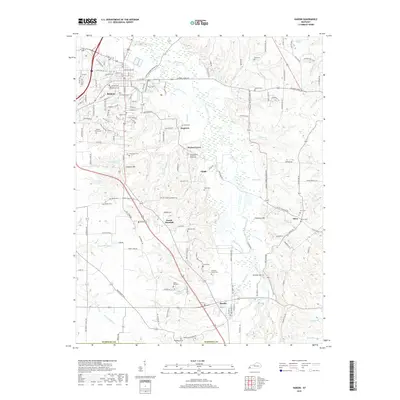
2019 Map of Hardin
USGS Topo · Published 2019About this map
Benton serves as the regional anchor on this survey of central Marshall County, where the landscape is defined by the winding course of the Clarks River and its numerous tributaries. The map reveals a dense network of family-named landmarks and local burial grounds, such as the Banks Family Cem and Starks Cem, which provide essential clues for genealogical research in this part of Kentucky.
Find a feature on this map
186 named features on this map. Tap any name to fly to it.
Don’t see what you’re looking for? This feature index may not catch every label — zoom into the map to look around manually.
Map Details
Editions of this 2019 Hardin Map
This is the sole edition of this map. No revisions or reprints were ever made.
Other maps of this area

1936 · Oak Level
USGS Topo · 1:24,000

1936 · Elva
USGS Topo · 1:24,000

1936 · Hardin
USGS Topo · 1:24,000

1936 · Hiatt
USGS Topo · 1:24,000

1936 · Benton
USGS Topo · 1:48,000

1936 · Birmingham
USGS Topo · 1:24,000

1936 · Golden Pond
USGS Topo · 1:48,000

1936 · Dexter
USGS Topo · 1:24,000

1936 · Hico
USGS Topo · 1:24,000

1936 · Kirksey
USGS Topo · 1:24,000