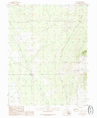
1985 Map of Harding
USGS Topo · Published 1985About this map
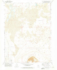
Harding stands as a primary point of reference in this mid-1980s landscape of Millard County, situated near the intersection of various survey township lines. The terrain is defined by its water management and arid geography, characterized by the Central Utah Canal and an Abandoned Canal that trace the gradual descent toward the Mud Flats. These artificial waterways highlight the region's historical reliance on irrigation to manage the desert environment. To the east, the topography rises toward Sixmile Point, while local activity is noted by features like the Gravel Pit and a Storage Bin. The presence of the Delta NW Base provides a specific marker for surveyors and genealogists tracking land divisions in this part of Utah. The transition from Sand Dunes to drainage features like Clay Spring Wash illustrates the environmental complexities of the Sevier Desert area during this era.
Find a feature on this map
13 named features on this map. Tap any name to fly to it.
Don’t see what you’re looking for? This feature index may not catch every label — zoom into the map to look around manually.
Map Details
Editions of this 1985 Harding Map
This is the sole edition of this map. No revisions or reprints were ever made.
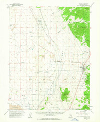
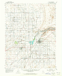
Other maps of this area

1885 · Sevier Desert
USGS Topo · 1:250,000
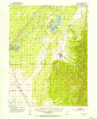
1951 · Oak City
USGS Topo · 1:62,500

1953 · Delta
USGS Topo · 1:250,000

1958 · Delta
USGS Topo · 1:250,000

1962 · Delta
USGS Topo · 1:250,000
1962 · Holden
USGS Topo · 1:62,500
1962 · Delta
USGS Topo · 1:62,500
1971 · Pavant Butte North
USGS Topo · 1:24,000
1985 · Oak City North
USGS Topo · 1:24,000
1985 · Oak City South
USGS Topo · 1:24,000