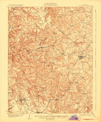
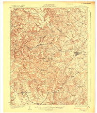
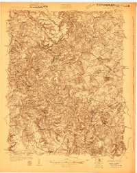
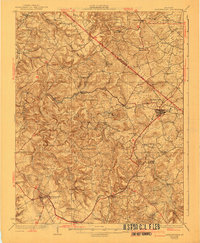
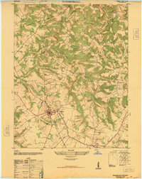
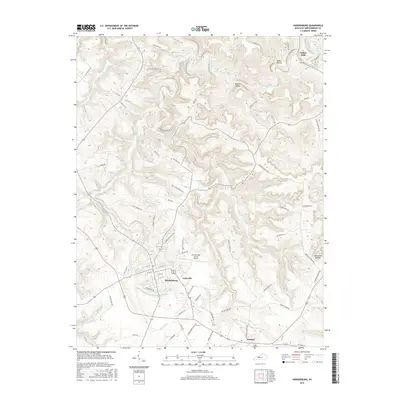
1931 Map of Hardinsburg
USGS Topo · Published 1931About this map
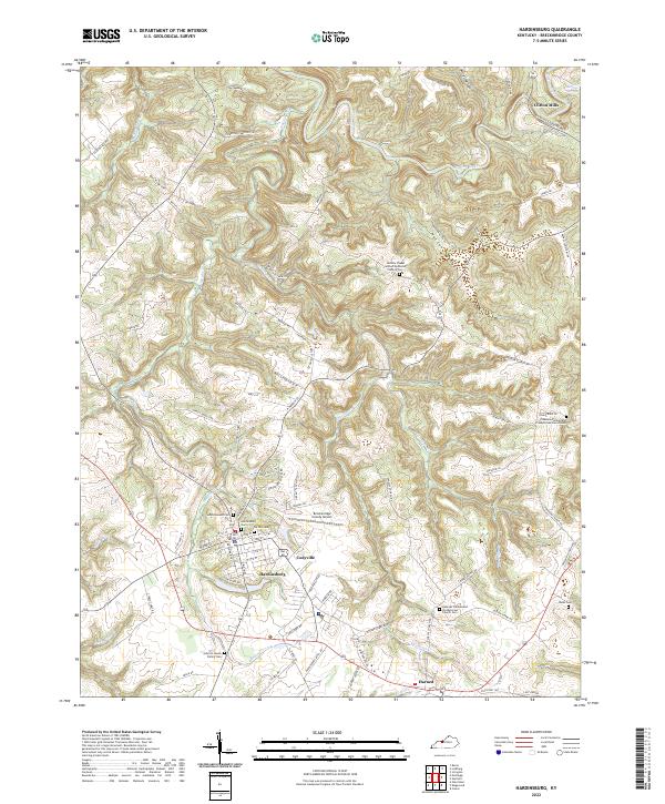
Hardinsburg and the surrounding limestone hills of the Pennyroyal Plateau are captured in this 1928 survey, showing a landscape defined by its deep karst features and established rural school districts. The Louisville and Nashville railroad serves as the primary artery for the region, connecting the larger hubs of Irvington and Hardinsburg while passing through smaller communities like Webster and Lodiburg. This era represents a peak in local educational infrastructure, with dozens of family-named schoolhouses such as Argabright Sch, Shellman Sch, and Perrin Sch peppered across the drainage basins of Sinking Creek and Yellowbank Creek. The southern edge of the map reveals the industrial activity at Gar Rock Mine near Harned, while the terrain to the north is marked by complex ridges like Bruner Ridge and the Breckinridge and Meade County border. Numerous country churches, including Mt Merino Ch and Ephesus Ch, serve as the social anchors for these ridge-top and valley settlements.
Find a feature on this map
61 named features on this map. Tap any name to fly to it.
Don’t see what you’re looking for? This feature index may not catch every label — zoom into the map to look around manually.
Map Details
Editions of this 1931 Hardinsburg Map
3 editions found
Historical Maps of Hardinsburg Through Time
11 maps found
1928 Hardinsburg
Breckinridge County, KY
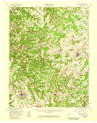
1931 Hardinsburg
Breckinridge County, KY
1947 Hardinsburg
Breckinridge County, KY
1947 Hardinsburg
Breckinridge County, KY
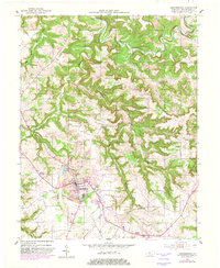
1953 Hardinsburg
Breckinridge County, KY
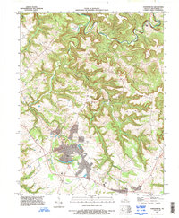
1993 Hardinsburg
Breckinridge County, KY

2010 Hardinsburg
Breckinridge County, KY

2013 Hardinsburg
Breckinridge County, KY
2016 Hardinsburg
Breckinridge County, KY

2019 Hardinsburg
Breckinridge County, KY
2022 Hardinsburg
Breckinridge County, KY