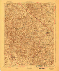
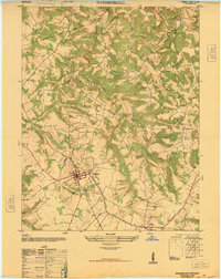
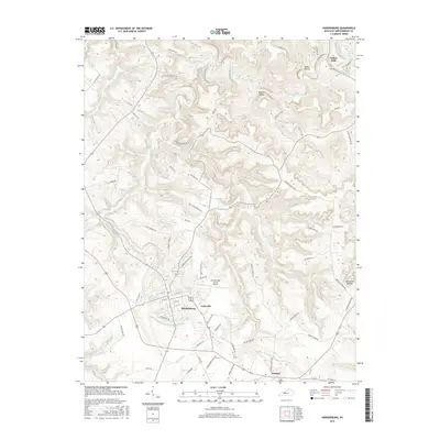
1931 Map of Hardinsburg
USGS Topo · Published 1941About this map
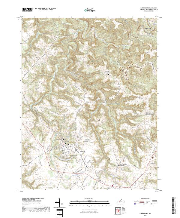
The Louisville and Nashville railroad cuts a diagonal path across this 1928 survey of Breckinridge and Meade Counties, connecting the commercial hubs of Irvington and Hardinsburg. The landscape is defined by a dense network of country schools, reflecting a period of localized rural education with named institutions like Giltedge Sch, Argabright Sch, and Hazel Dell Sch dotting the ridges and valleys.
Find a feature on this map
61 named features on this map. Tap any name to fly to it.
Don’t see what you’re looking for? This feature index may not catch every label — zoom into the map to look around manually.
Map Details
Editions of this 1931 Hardinsburg Map
3 editions found
Historical Maps of Hardinsburg Through Time
11 maps found
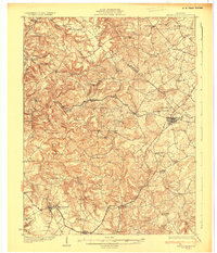
1928 Hardinsburg
Breckinridge County, KY
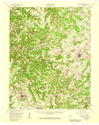
1931 Hardinsburg
Breckinridge County, KY
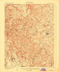
1947 Hardinsburg
Breckinridge County, KY
1947 Hardinsburg
Breckinridge County, KY
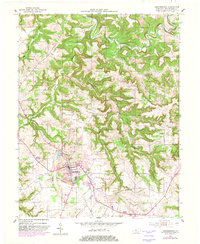
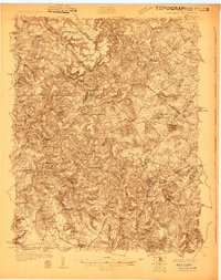
1953 Hardinsburg
Breckinridge County, KY
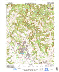
1993 Hardinsburg
Breckinridge County, KY

2010 Hardinsburg
Breckinridge County, KY

2013 Hardinsburg
Breckinridge County, KY
2016 Hardinsburg
Breckinridge County, KY

2019 Hardinsburg
Breckinridge County, KY
2022 Hardinsburg
Breckinridge County, KY