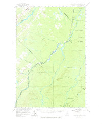
1957 Map of Hardwood Mountain
USGS Topo · Published 1968About this map
The Canada United States international boundary bisects this landscape, where the northern timberlands of Maine meet the rural outskirts of Quebec. In the late 1950s, this area was defined by its watercourses and early industrial access, anchored by the Southwest Branch St John River and the Canadian Pacific railroad line clipping through the northwestern corner near St Camille-de-Bellechasse. This geography highlights the reliance on private infrastructure in the remote North Woods, evidenced by the Gilbert Road Private and the Billy Jack Depot positioned deep within the unorganized townships. Topographic prominence is found at Hardwood Mountain, topped by a Lookout Tower that surveyed the drainage basins of Morning Brook and Brailey Brook. The presence of Gagnon and various camps suggests a landscape shaped by seasonal forestry and international transit.
Find a feature on this map
31 named features on this map. Tap any name to fly to it.
Don’t see what you’re looking for? This feature index may not catch every label — zoom into the map to look around manually.
Map Details
Editions of this 1957 Hardwood Mountain Map
3 editions found
Other maps of this area

1954 · Baker Lake
USGS Topo · 1:62,500

1954 · St. John Pond
USGS Topo · 1:62,500

1954 · Presque Isle
USGS Topo · 1:250,000

1955 · Beaver Pond
USGS Topo · 1:62,500

1957 · Norris Brook
USGS Topo · 1:62,500

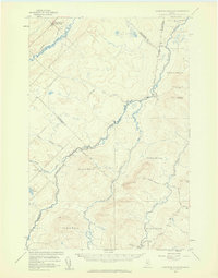
1957 · Hardwood Mountain
USGS Topo · 1:62,500

1957 · Saint Zacharie
USGS Topo · 1:62,500

1958 · Presque Isle
USGS Topo · 1:250,000

1958 · Saint John Pond
USGS Topo · 1:62,500

1960 · Presque Isle
USGS Topo · 1:250,000