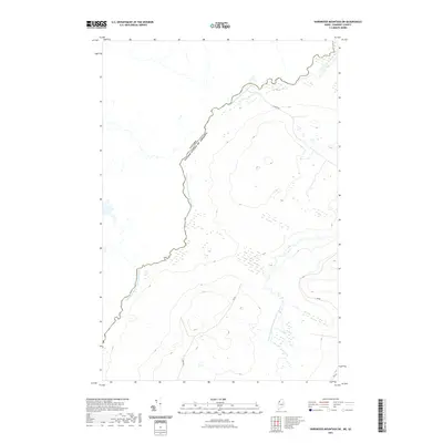
2021 Map of Hardwood Mountain SW
USGS Topo · Published 2021About this map
The Canada-United States of America border defines the character of this Somerset County landscape, following the winding course of the Southwest Branch Saint John River. This remote stretch of the international boundary is dominated by heavy forest cover and the intricate drainage of the Little Southwest Branch Saint John River. A sparse network of timber and access roads, including Gilbert Rd and Dump Rd, provides the only terrestrial connection through these wooded highlands. The topography reveals significant elevation changes near the headwaters of the Saint John, where the terrain rises steeply from the riverbanks. This 2021 digital survey documents the modern state of this quiet borderland, highlighting the persistent importance of the river systems as natural markers between nations.
Find a feature on this map
7 named features on this map. Tap any name to fly to it.
Don’t see what you’re looking for? This feature index may not catch every label — zoom into the map to look around manually.
Map Details
Editions of this 2021 Hardwood Mountain SW Map
This is the sole edition of this map. No revisions or reprints were ever made.
Other maps of this area

1957 · Norris Brook
USGS Topo · 1:62,500

1957 · Hardwood Mountain
USGS Topo · 1:62,500

1957 · Saint Zacharie
USGS Topo · 1:62,500

1962 · Quebec
USGS Topo · 1:250,000
1986 · Lac Etchemin
USGS Topo · 1:100,000
1989 · Hardwood Mountain
USGS Topo · 1:24,000
1989 · Black Brook
USGS Topo · 1:24,000
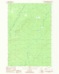
1989 · Hardwood Mountain SE
USGS Topo · 1:24,000
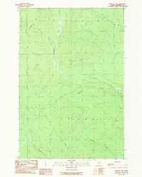
1989 · Hinckley Hill
USGS Topo · 1:24,000
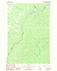
1989 · Hardwood Mountain SW
USGS Topo · 1:24,000