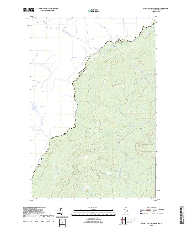
2024 Map of Hardwood Mountain SW
USGS Topo · Published 2024About this map
The international boundary between Canada and the United States follows the winding path of the Southwest Branch Saint John River through this Somerset County landscape. The terrain is defined by a dense network of timber-access roads and water bodies, including Lac Fortier and Lac Croche, which reflect the remote character of Maine's northern woodlands. The hydrography of the region is further characterized by Ruisseau Morning Nord and Ruisseau Morning Sud, which flow toward the international border. Internal forest roads like Gilbert Rd and 205 Rd trace the contours of Hardwood Mountain, illustrating the ongoing relationship between the land and the timber industry. The divergence of the Little Southwest Branch Saint John River in the southern portion of the sheet provides a detailed record of the headwaters that feed into the larger Saint John watershed.
Find a feature on this map
11 named features on this map. Tap any name to fly to it.
Don’t see what you’re looking for? This feature index may not catch every label — zoom into the map to look around manually.
Map Details
Editions of this 2024 Hardwood Mountain SW Map
This is the sole edition of this map. No revisions or reprints were ever made.
Other maps of this area

1957 · Norris Brook
USGS Topo · 1:62,500

1957 · Hardwood Mountain
USGS Topo · 1:62,500

1957 · Saint Zacharie
USGS Topo · 1:62,500

1962 · Quebec
USGS Topo · 1:250,000
1986 · Lac Etchemin
USGS Topo · 1:100,000
1989 · Hardwood Mountain
USGS Topo · 1:24,000
1989 · Black Brook
USGS Topo · 1:24,000
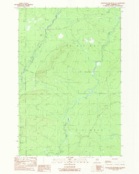
1989 · Hardwood Mountain SE
USGS Topo · 1:24,000
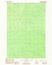
1989 · Hinckley Hill
USGS Topo · 1:24,000
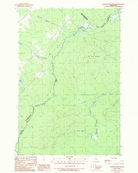
1989 · Hardwood Mountain SW
USGS Topo · 1:24,000