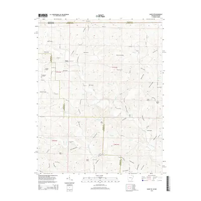
2014 Map of Hardy NE
USGS Topo · Published 2014About this map
Janes Creek and its many tributaries, including Martins Cr and Diles Cr, define the dissected landscape of this border region where Arkansas meets Missouri. The terrain is a dense network of hollows and ridges, reflecting a settlement pattern long tied to the drainage of the Ozark foothills. Family names are deeply etched into the topography, seen in landmarks like Yates Ridge, Perry Bluff, and Nubbin Ridge.
Find a feature on this map
77 named features on this map. Tap any name to fly to it.
Don’t see what you’re looking for? This feature index may not catch every label — zoom into the map to look around manually.
Map Details
Editions of this 2014 Hardy NE Map
This is the sole edition of this map. No revisions or reprints were ever made.
Other maps of this area

1941 · Gatewood
USGS Topo · 1:62,500

1944 · Couch
USGS Topo · 1:62,500

1945 · Gatewood
USGS Topo · 1:62,500

1946 · Couch
USGS Topo · 1:62,500

1957 · Poplar Bluff
USGS Topo · 1:250,000

1959 · Poplar Bluff
USGS Topo · 1:250,000

1960 · Poplar Bluff
USGS Topo · 1:250,000

1966 · Ravenden Springs
USGS Topo · 1:24,000
1966 · Billmore
USGS Topo · 1:24,000

1968 · Hardy
USGS Topo · 1:24,000