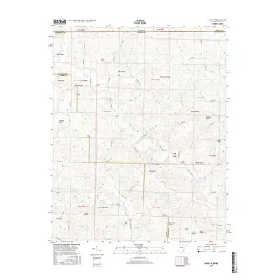
2017 Map of Hardy NE
USGS Topo · Published 2017About this map
Janes Cr and Martins Cr carve through this upland region along the border of Arkansas and Missouri, defining a landscape of narrow hollows and prominent ridges. The area is marked by a legacy of family settlement, evidenced by the numerous small burial grounds scattered throughout the terrain, including James Cem, Davis Cem, and Taylor Cem. The topography is exceptionally detailed, showing the intricate drainage patterns of Athye Br and Ellis Br as they feed into the larger creek systems.
Find a feature on this map
89 named features on this map. Tap any name to fly to it.
Don’t see what you’re looking for? This feature index may not catch every label — zoom into the map to look around manually.
Map Details
Editions of this 2017 Hardy NE Map
This is the sole edition of this map. No revisions or reprints were ever made.
Other maps of this area

1941 · Gatewood
USGS Topo · 1:62,500

1944 · Couch
USGS Topo · 1:62,500

1945 · Gatewood
USGS Topo · 1:62,500

1946 · Couch
USGS Topo · 1:62,500

1957 · Poplar Bluff
USGS Topo · 1:250,000

1959 · Poplar Bluff
USGS Topo · 1:250,000

1960 · Poplar Bluff
USGS Topo · 1:250,000

1966 · Ravenden Springs
USGS Topo · 1:24,000
1966 · Billmore
USGS Topo · 1:24,000

1968 · Hardy
USGS Topo · 1:24,000