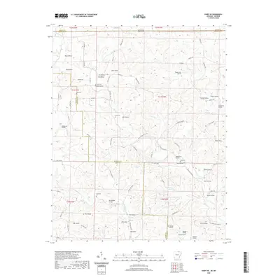
2020 Map of Hardy NE
USGS Topo · Published 2020About this map
Janes Cr and its various forks dominate this northern Arkansas landscape, carving a complex network of hollows along the Sharp and Randolph County line. The terrain is defined by its numerous named family landmarks and burial sites, including the Davis Cem, James Cem, and Taylor Cem, which reflect generations of settlement in the Ozark foothills. Cultural markers such as Perry Bluff and the waters of Stillhouse Spring suggest a history of localized land use and natural resource reliance near the Missouri border. Moving south toward the t20n r3w township, the elevation rises toward Yates Ridge and Nubbin Ridge, while the drainage system of Martins Cr creates deep depressions like McCollough Hollow and Sam Hollow. This map captures a rural interior where the legacy of early families is preserved through the naming of nearly every fold in the earth.
Find a feature on this map
95 named features on this map. Tap any name to fly to it.
Don’t see what you’re looking for? This feature index may not catch every label — zoom into the map to look around manually.
Map Details
Editions of this 2020 Hardy NE Map
This is the sole edition of this map. No revisions or reprints were ever made.
Other maps of this area

1941 · Gatewood
USGS Topo · 1:62,500

1944 · Couch
USGS Topo · 1:62,500

1945 · Gatewood
USGS Topo · 1:62,500

1946 · Couch
USGS Topo · 1:62,500

1957 · Poplar Bluff
USGS Topo · 1:250,000

1959 · Poplar Bluff
USGS Topo · 1:250,000

1960 · Poplar Bluff
USGS Topo · 1:250,000

1966 · Ravenden Springs
USGS Topo · 1:24,000
1966 · Billmore
USGS Topo · 1:24,000

1968 · Hardy
USGS Topo · 1:24,000