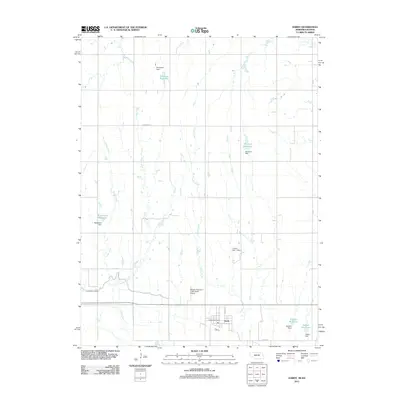
2011 Map of Hardy
USGS Topo · Published 2011About this map
The village of Hardy anchors this Nebraska-Kansas border survey, situated near the southern edge of Nuckolls County. The landscape is defined by its agricultural water management, featuring a dense network of small privately-named reservoirs and dams. These include Simonsen Reservoir, Blackstone Reservoir, and Kaldahl Reservoir, each fed by the intermittent drainages of Crosby Creek and Forsha Creek. This rural infrastructure supports the local farming economy, while the Superior Canal cuts across the southwestern corner, further highlighting the region's reliance on irrigation systems.
Find a feature on this map
21 named features on this map. Tap any name to fly to it.
Don’t see what you’re looking for? This feature index may not catch every label — zoom into the map to look around manually.
Map Details
Editions of this 2011 Hardy Map
This is the sole edition of this map. No revisions or reprints were ever made.
Other maps of this area

1892 · Concordia
USGS Topo · 1:125,000

1894 · Mankato
USGS Topo · 1:125,000

1898 · Superior
USGS Topo · 1:125,000

1898 · Hebron
USGS Topo · 1:125,000

1955 · Manhattan
USGS Topo · 1:250,000

1955 · Lincoln
USGS Topo · 1:250,000

1955 · Grand Island
USGS Topo · 1:250,000

1955 · Beloit
USGS Topo · 1:250,000

1956 · Manhattan
USGS Topo · 1:250,000

1957 · Manhattan
USGS Topo · 1:250,000