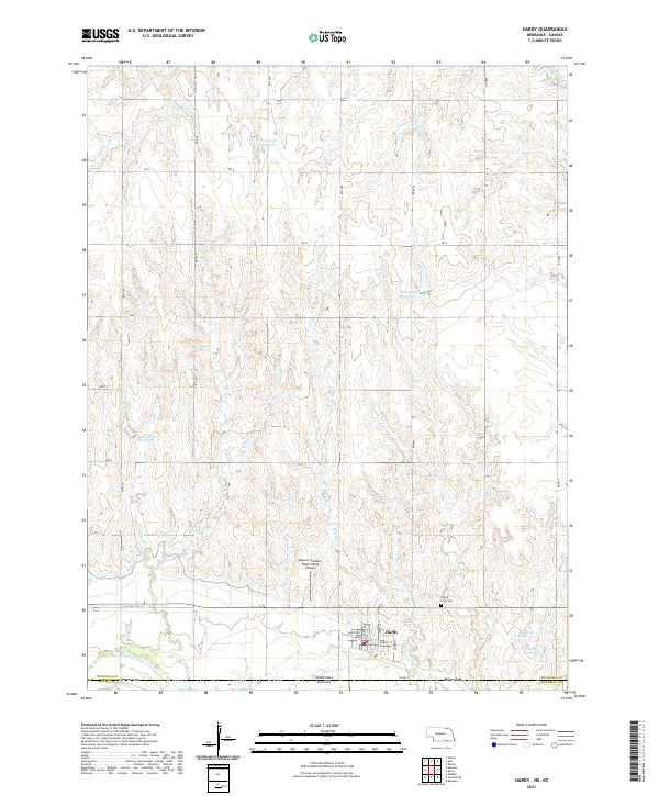
2021 Map of Hardy
USGS Topo · Published 2021About this map
Hardy sits at the southern edge of Nuckolls County, Nebraska, just above the state line in a landscape shaped by agricultural water management and small-town infrastructure. This 2021 study shows the organized grid of the town site, featuring streets like Main St and Market St, while just to the east, the community of Warwick lies across the border in Republic County, Kansas. The surrounding terrain is defined by several private water storage features such as Simonsen Reservoir, Houtwed Reservoir, and Blackstone Reservoir, which support the local farming economy.
Find a feature on this map
35 named features on this map. Tap any name to fly to it.
Don’t see what you’re looking for? This feature index may not catch every label — zoom into the map to look around manually.
Map Details
Editions of this 2021 Hardy Map
This is the sole edition of this map. No revisions or reprints were ever made.
Other maps of this area

1892 · Concordia
USGS Topo · 1:125,000

1894 · Mankato
USGS Topo · 1:125,000

1898 · Superior
USGS Topo · 1:125,000

1898 · Hebron
USGS Topo · 1:125,000

1955 · Manhattan
USGS Topo · 1:250,000

1955 · Lincoln
USGS Topo · 1:250,000

1955 · Grand Island
USGS Topo · 1:250,000

1955 · Beloit
USGS Topo · 1:250,000

1956 · Manhattan
USGS Topo · 1:250,000

1957 · Manhattan
USGS Topo · 1:250,000