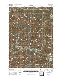
2011 Map of Harlan
USGS Topo · Published 2011About this map
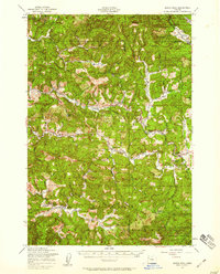
Big Elk Valley serves as a central geographic anchor in this 2011 survey of the Coast Range, where the settlement of Harlan sits near the confluence of several vital waterways. The landscape is defined by its complex drainage network, notably Big Elk Creek and Feagles Creek, which carve through a series of named ridges including Strom Boulder Ridge and Chinquapin Ridge. To the north, the small community of Burnt Woods and the Cline Hill Summit mark the transition toward the Little Elk Creek drainage. This map provides critical details for local historians and genealogists, locating the Harlan Cemetery and the Big Elk Campground within a terrain heavily influenced by forest management, as evidenced by a dense grid of service roads like Burnt Woods Ridge Rd and Feagles Creek Rd.
Find a feature on this map
59 named features on this map. Tap any name to fly to it.
Don’t see what you’re looking for? This feature index may not catch every label — zoom into the map to look around manually.
Map Details
Editions of this 2011 Harlan Map
This is the sole edition of this map. No revisions or reprints were ever made.
Other maps of this area
1939 · Marys Peak
USGS Topo · 1:62,500
1942 · Marys Peak
USGS Topo · 1:62,500
1942 · Alsea
USGS Topo · 1:62,500
1942 · Tidewater
USGS Topo · 1:62,500
1942 · Toledo
USGS Topo · 1:62,500

1953 · Salem
USGS Topo · 1:250,000

1954 · Salem
USGS Topo · 1:250,000
1956 · Alsea
USGS Topo · 1:62,500
1956 · Tidewater
USGS Topo · 1:62,500
1957 · Marys Peak
USGS Topo · 1:62,500